• Home
  • About
  • Contact
Blair Raughley Masters
  • Home
  • About
  • Contact

Bali: Munduk Rainforest Trek Bordering Tamblingan Lake

As we ride our bike through the curvy steep inclines and declines of Munduk, the early morning fog peeks its way through the tips of the trees. We see local people emerging from their homes for the day, setting out morning offerings, lighting incense. Others are on their way to work, opening up shops, sweeping the sidewalks. Dogs waking up, doing morning stretches, chasing bikes down the road. The views on either side of us are stunning. Such thick jungle, the air up in the mountains is crisp, cool, and clean.

Our guide, Putu, leading the way through the dense, pathless rainforest

Putu Leading the Trek Through the Rainforest

We pull off to an area with a small structure manned by two people - one of which would be our guide through the thick rain forest. His name is Putu. He wore camouflage pants and rain boots and carried a wooden-handled scythe. Just like other Balinese people we’ve met, he was very self-conscious about the amount of English he spoke. As a side note, most Balinese people impressively speak multiple languages. Their own language system seems quite complex. Most people learn Bahamese Indonesian in school and can use this to communicate widely across the country. However, there are several different indigenous Balinese languages, depending on the village and caste of a person. A majority of Balinese speak the common Sudra caste language amongst themselves. However, when speaking to a stranger or a social superior, they must speak in Halus, or high Balinese. There are other languages used for priestly rituals and Sanskrit for Hindu prayer and scriptures. In addition, most people also speak English.

Anyway, despite what he said, Putu knew plenty of words and was extremely knowledgeable about the forest.

Putu leads the way through, using his scythe with each stride to cut through the much-overgrown path - nature taking its course after having not been touched the last two years. He points out different types of fruits and trees, fern plants used for food, and stinging nettles to avoid. We stopped to admire the striking trees, hundreds of years old, some of which had been taken over by the rampant growing parasitic ficus. Putu pointed out where the healthy tree stopped and where the parasite began.

The roots of a centuries-old tree that's been taken over by a parasitic ficus.

Centuries-Old Parasitic Ficus Tree

About 30 minutes in, we’re soaked with the dew from the branches and the trees through which we’ve been making our way. I’m trying to remain true to my adventurous self, but the fear of blood-sucking insects is creeping into my mind. Mind you, on the bike ride over, I had a premonition that today would be the day we would see our first leech. Something I had been afraid of since Sri Lanka (never saw one). We stop for a water break and I feel something wet on my leg and before I could get a good look at it I had already frantically flicked it off.

Andrew standing under a centuries-old tree that's been taken over by a parasitic ficus.

Andrew Standing with Ficus Tree

It was small, black, and worm-like. Putu confirmed it was a leech. It is the rainy season - the leeches are less of a possibility and more of an inevitable. 

We continue our trek and I’m wishing I hadn’t worn shorts. Yanking my hiking socks as tall as they will go and trying to stay brave, but constantly turning around to Andrew with a face of fear. We get to a point where we are through the thick of it.

We are walking on an actual 10 ft wide path now, for about 10 minutes.

Then we reach a fork in the road where Putu looks to us to decide - continue on the walking path or forge our way again through the thick jungle. I have a really hard time backing down from a challenge. Andrew knows this, and I wish it wasn’t the case, but I know I will have so much more regret if we take the easy way than vice versa. “Normally, we would go through the jungle, but it’s up to my wife,” Andrew says with a bit of a tease. Onward we go. 

Less than five minutes later Andrew has a leech attached from both ends to his stomach. He pulls it off, with a bit of a struggle, and Putu rushes over to stick some dried tobacco onto his skin to stop the bleeding. Andrew assures me it wasn’t too bad, – hard pass, no thank you, nope, nope, nope. I do a quick check on my legs, nothing. But then Putu comes over with his giant scythe and proves that I’m a terrible detector of leeches. He picks a dozen off of my hiking shoes. I still to this day think about where those leeches would have attached. Thank God for Putu. We keep trekking.

We come to a break in the jungle that lends itself to a quaint temple in the middle of nowhere. Its yellow and white embellishments stand out richly in the haze and luscious greens of the forest.

A Balinese Hindu temple we discovered inside the depths of the rainforest.

A Balinese Hindu Temple in the Jungle

A closer image of the Balinese Hindu temple we discovered inside the depths of the rainforest.

He explains that there are communities of people that live in the jungle, and takes us to one of their homes. We approach a family of a mother and daughter. Their home is built from the ground up with thin planks of wood, probably from the very jungle where we were standing. There is no insulation, furniture, or anything inside the structure of the home. I notice a tank attached to the back of the house for clean drinking water. Their garden is a pretty good size, they are probably close to 100% self-sustainable. There is a sticker on their window - some sort of official government acknowledgment. I looked it up later to see what it meant. The literal translation was ‘poor person’.

They welcome us, although we do not speak any of the shared languages. Putu does, and he greets the woman warmly. We take a seat in their front garden area and sip on our water, using the only common communication we know - hands in prayer, a bow of the head, and a smile.

Putu picks a few fruits from the tree - they are called ‘snow fruit’ or ‘ice cream beans’ - Andrew loves this term. You crack open an outer shell to find little fruits covered in a fuzzy white snow-like coating. There's a seed in the middle but the outer flesh is sweet. 

Andrew cracks open the shell of a snow fruit.

Andrew Eating Ice Cream Beans

It becomes apparent that the little girl wants to take a picture of us but is too shy to ask. We have the camera, so we break the ice by asking if it’s ok if we take a picture of her and afterward, asked her if she wanted a photo of us. She was delighted.

Mother and daughter laugh after daughter takes our picture

A Family on the Front Porch of Their Home

We move on towards the lake. Once we arrive, Putu hires (or grabs a pre-arranged) ride on a traditional dug-out canoe. With Andrew and I helping (at times) with the paddling, but Putu and our boatsman leading the way we make the 30-minute crossing over Tamblingan Lake.

Putu's hired driver preparing the canoe for our trip across the lake.

Traditional Dug-Out Canoe

Andrew paddles the canoe with Putu and our canoe guide across Tamblingan Lake.

Canoeing Across the Tamblingan Lake

As we paddle, the lake is dotted with fishermen’s floating docks, pads with blooming lilies, and an ancient-looking temple in the distance.

Fisherman sets up his floating dock.

Fisherman on his Floating Dock

Close-up image of fisherman setting up his floating dock

When we reach our destination, the Gubug temple comes to life. From each angle, it seems even more magnificent. This nearly 1,000-year-old sacred site remains an important place of worship for the local community. We snap a few photos with the stunning lake and mountain scenery as our background and make our final walk back to our bike.

Andrew and Blair pose in front of the Gubug Temple.

Gubug Temple

Ulterior angle of Gubug Temple.

On the road to the parking lot, bikes driven by local children - who couldn’t have been more than 13 - pass us continually on the road. Putu explains that parents have to teach their kids how to drive at an early age around this area, as a means of getting to school without taking up their parent's valuable working time. Finally, we arrive back at our bike, undergoing one final leech check before thanking Putu for a day well done. 

- Blair

tags: Asia, Bali, Travel Photography
categories: Travel
Tuesday 12.21.21
Posted by Blair Raughley Masters
 

Spain: Three Days in Asturias and Galicia

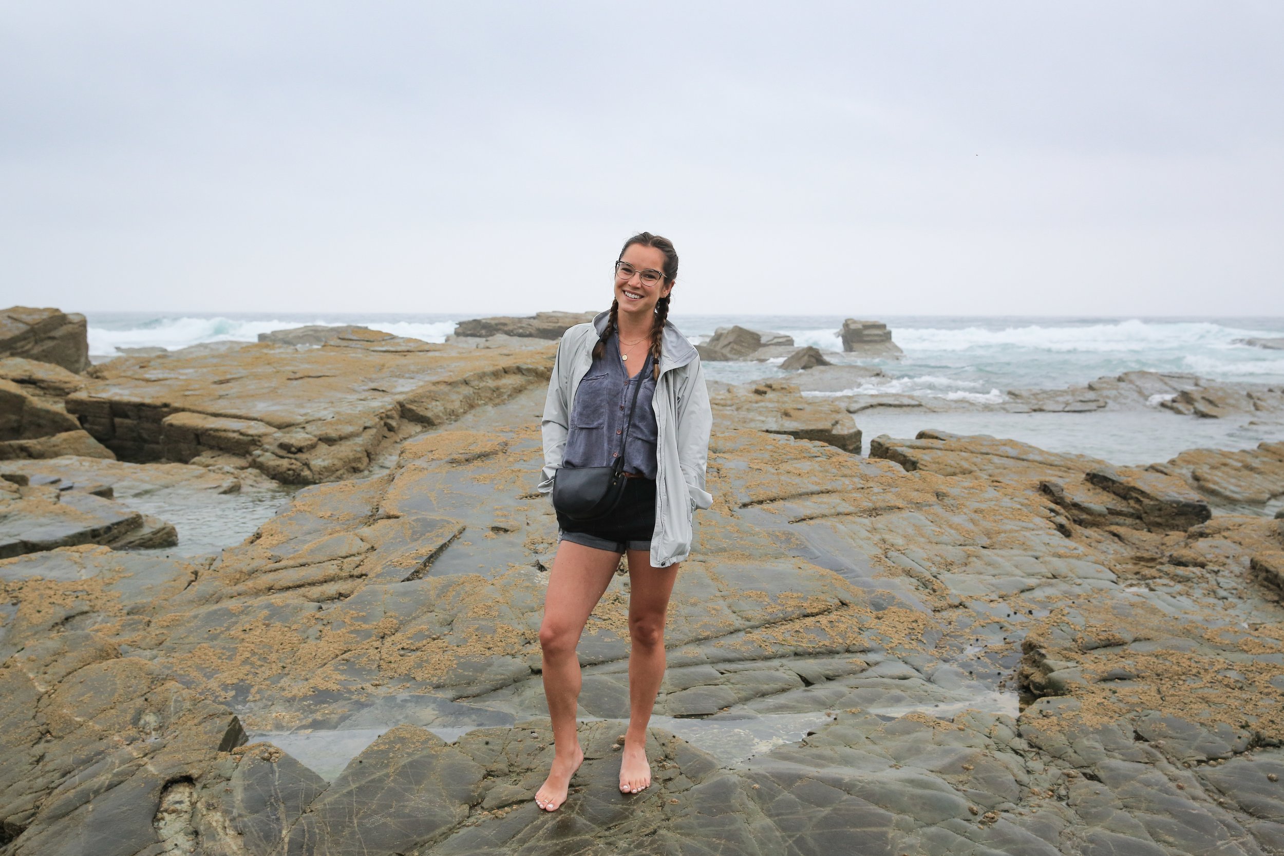
Blair standing on the water's edge in Praia das Catedrais

Praia das Catedrais (Cathedral Beach) National Monument in Galicia, Spain

DAY 1: ASTURIAS (LLANES AND PLAYA DE BALLOTA)

After a quick stop in Bilbao for lunch, we make our way due west, out of Basque Country and in the direction of two of Spain’s more rugged and less-explored regions: Asturias and Galicia. 

Trying to save a bit of money by avoiding the national highway and its tolls, we wound our way through the regional backroads of Asturias, sandwiched between the Cantabrian mountain range and the Cantabrian Sea.

Historically significant as the place where the Spanish finally turned the tides against the Moorish occupation in the 13th century, modern Asturias is a natural paradise still relatively undiscovered by foreign tourists.

Towering mountains, covered in dense forest and shrouded in clouds, dominate one side of our view. On the other side, the clouds break to give way to unspoiled coastline dotted every dozen or so kilometers with colorful coastal towns. Terracotta-roofed farmhouses filled with apple orchards or livestock fill the landscape in-between.

You might think for a second you were in Central California if not for the Spanish language road signs.

As the sole patch of Spain never conquered by the Muslims, locals proudly claim Asturias as ‘the real Spain: the rest is simply Tierra de Reconquista (reconquered land)’.

Our destination for tonight is the tiny fishing village of Llanes in eastern Asturias, chosen because it looks like a cool place to explore but mostly as part of an attempt to evenly split the time spent in the car over the course of our 3 days in northern Spain. About 30 minutes before we reach Llanes, we decide to make a pitstop to check out one of Asturias’ many beautiful beaches: Playa de Ballota.

View of Playa de Ballota from above

Playa de Ballota from above

Andrew standing on the sand - Playa de Ballota near Llanes in Asturias

View from the beach - Playa de Ballota near Llanes

Turning off the main road we descend down a steep dirt road for 10 minutes till we reach the parking lot. After some more climbing down, this time on foot down a winding staircase, we emerge on a secluded white sand beach, facing a roaring sea with high green cliffs on either side.

We lay out our sandcloud blanket and soak up the last few remaining rays of the day, even taking a quick dip in the very cold and very rough sea. If we didn’t already feel like we were in a wild and unspoiled part of Spain from our time on the road, Playa de Ballota drove the point home in a major way. 

After the sun abated, we left Playa de Ballota and drove the final stretch to our hotel in Llanes which sat about 10 mins walk from the town’s medieval core and port.

Andrew had picked out a Mexican restaurant to try in town that evening. Mexican may sound like a random cuisine choice for dinner in one the most fertile regions of Spain but

1. we missed Mexican food

2. Llanes and this area of Asturias has an odd Mexican link that made it seem worth exploring

In the 1800s and early 1900s, many Spaniards emigrated to the New World (Mexico, Cuba, and Puerto Rico in particular) in search of a better quality of life and to escape the obligatory military service. A large part of this group of emigres (who later come to be known as ‘Indianos’) came from Asturias - nearly 300,000 in total. 

The Indianos returned with vast fortunes made in tobacco, textiles and banking to build large colonial mansions - Palacios de Indianos - which now characterize the area in and around Llanes. Llanes and Mexico are still very much linked and many Mexicans descended from these emigres, return to visit family houses in the area.

This link has also meant the creation of a Mexican food scene in a place where you’d least expect it, servicing locals and tourists alike. We ate at one of these spots, Chibiski, and enjoyed some very serviceable enchiladas, tacos, and margaritas.

We also found some time before dinner to explore Llanes on foot, snapping some photos and getting our first taste of one of Asturias’ charming fishing villages. 

Old man fishing on the rocks in Llanes, Asturias

Fishing in Llanes

Exploring Llanes before dinner

View of Llanes harbor at dusk

Llanes Harbor / Town Center

DAY 2: OVIEDO, CUDILLERO AND PRAIA DES CATEDRAIS

Our main goal for day 2 was to make it to Praia das Catedrais (Cathedral Beach) in Galicia. The natural monument is one of the main tourist attractions in this part of Spain, so popular in summertime we had to make a reservation in advance. While the reservation was for the whole day, not a specific time, we had to time our visit with low tide at 6 pm as the beach is inaccessible for more than half the day due to the massive shifts in sea level.  

A straight shot drive would take only 2 and a half hours so we had basically a full day to fill. We planned a zigzag route that would allow us to see a bit more of Asturias before we crossed over into Galicia. 

Street Art in Oviedo near the start of Old Town

One of the many pieces of public art in Oviedo

Stall at Mercado El Fontán

Exploring Old Town Oviedo

Leaving the coast temporarily, we headed inland for Oviedo, the region’s capital and second-largest city. The plan for Oviedo was to get lunch and check out a few local markets. After parking our car, we wandered the pedestrian streets of the city’s old town (which dates back to the 9th century) for a while including a stop at the Mercado El Fontán food market to get a first-hand look at the abundance of local produce the area is known for. After seeing so much delicious food for sale at the markets, we decided to try some for ourselves.

We stumbled upon a tiny cafe “No Te Cortes Con El Jamón Oviedo” run by a man and woman who we guessed from their somewhat frosty interactions were a brother/sister team, not a husband/wife one. Andrew ordered some local meat from one of the giant pork legs hanging in the window, expertly shaved thin in front of us by the female proprietor, while the male co-owner selected and sliced five regional kinds of cheese for a shared plate. This was Spanish lunch done right - quality ingredients, prepared simply. 

Meat and cheese lunch in Oviedo

Following lunch, we steered back towards the coast for our final Asturias destination, Cudillero, which turned out to be the most ‘straight out of a postcard’ of all the idyllic fishing villages we visited in this part of Spain. A ring of colorful houses rises into the hillside above the town square, all overlooking a tiny dock in the bay where the fishing boats pulled up with the fresh catch of the day. We snapped a few pictures on Blair’s camera and moved on more quickly than we would have liked. But low tide time was fast approaching. 

View of Cudillero fishing village in Asturias

Cudillero: our last stop in Asturias before heading into Galicia

We crossed into Galicia and beelined it for Praia das Catedrais.

‘Praia’ not ‘Playa’ you might notice as the name is in Gallego, the local Galician dialect that’s a sort of Spanish/Portuguese hybrid.

When we arrived, it was not exactly typical beach weather, but this was not your typical beach. For one, Galicia is known for its cool and rainy days atypical for Spain (even in summer). But also, this was more of a tourist site you explore than a beach to hang out and chill at. No one was sitting on beach towels relaxing. Everyone (and there were dozens if not hundreds of people here - a bit jarring at first) was wandering the shoreline, taking in the views. We followed suit and despite the crowds, it was a sight to behold.

From down on the beach below, the cliffs rose 30m high, the constant pounding of the sea over time creating these towering walls of slate, like a huge, unreachable (for anyone except maybe a giant) step up onto the land above.

Famous Arches of Cathedral Beach / Praia das Catedrais

Towering Arches of Praia das Catedrais National Monument

Halfway up the cliff face, you could see the watermark of high tide from earlier that day, an ever-present reminder that your time to explore was limited.

Andrew standing at the base of the sea walls / cliffs of Praia das Catedrais

Cliffs at Praia das Catedrais - with Andrew for scale

Andrew and others walking in the water at Praia das Catedrais

Praia das Catedrais: walking at low tide

As we walked further into the monument, at numerous points having to wade in knee-deep seawater to get to the next portion, nature’s raw power came into magnificent view.

Skyscraping arches. Sandy corridors through the imposing slate walls. Caves carved into rocky chambers.

It became clear why this place had drawn so many visitors. 

We finished up at Praia das Catedrais and headed for our hotel in Barreiros, capping our night with a meal in nearby Foz to try the other thing Galicia is known for besides its temperamental weather: fresh seafood.

Northern Spain had me feeling how the whole fish I was enjoying for dinner must have felt earlier that day: I was hooked! 

DAY 3: GALICIA (LUGO, SANTIAGO DE COMPOSTELA, AND THE RÍAS BAIXAS)

For our one full day in Galicia, we had a good amount of ground to cover and lots we wanted to see. We set off from Barreiros and turned away from the coast again towards the city of Lugo, home of the most complete and best-preserved Roman-era city walls in all of Europe.

Outside the ancient Roman walls of Lugo

Built during the latter part of the 3rd century, the walls stretch in a 2,000+ meter circle around the city’s old town. The entire circuit survives intact and stands as a shining example of the military architecture the Roman empire was famous for. You can even walk along the tops of the walls (which we did) on the same cobblestones that on many a day long ago walked Roman soldiers.

Within the walls, we found ourselves some breakfast and took time to visit the Catedral de Santa Maria, a stunning 12th-century structure that combines the best of Gothic, Baroque and Neoclassicist architecture. 

Catedral de Santa Maria in Lugo, Spain

From Lugo, we headed southwest for Santiago de Compostela, the alleged burial site of the Biblical apostle St. James and the endpoint of the famous Camino de Santiago pilgrimage, an ancient network of walking paths across Portugal and Spain that still draws more than 300,000 pilgrims each and every year. The entire old town, centered around its landmark 250-foot tall cathedral, is a UNESCO World Heritage site.

Santiago de Compostela's famous cathedral

The famous Cathedral of Santiago de Compostela, the reputed burial place of Saint James the Apostle

We park just outside old town and meander towards the cathedral, looking for a place to enjoy a late lunch. The streets are filled with backpacking pilgrims of all ages and nationalities, big smiles on their faces as they have reached the end of an undoubtedly long journey. We reach the grand plaza on the cathedral’s western side for the best possible view of the towering structure before settling into a delicious lunch a bit further afield from the tourist throngs. 

We leave Santiago de Compostela and turn back towards the coast, destined for our hotel within the Rías Baixas, a series of four estuarine inlets in Southwest Galicia. After another hour in the car, we drop our bags and regroup for an hour or two in our charming little room with its third-story view of one of the Rias.

This area of Galicia is known for Albarino wine and fresh seafood and venture back out for dinner in search of both. A short 20-minute drive to the tiny town of O Grove leads us to a no-frills seafood restaurant, Taberna a Laxeira, serving the fresh catch of the day. A middle-aged Galician man with crazy hair and a sunny demeanor greets and serves us while his elderly mother cooks up some of the best seafood you’ll ever have in the back. We order up some shrimps in garlic oil, mussels marinara, and fresh razor clams - and some house Albarino - and enjoy a fantastic meal for less than 50 euros. The seafood is so good we end up ordering a couple of desserts as well, a regional tart and a flan capping an altogether perfect day.

After paying the bill we wander down to the dock to walk off our meal a bit. The lights of the surrounding towns shine in the distance while closer afield the hundreds of fishing boats sit peacefully awaiting the next day’s work. 

Night photo of the marina in O Grove, Galicia

Black and white photo taken at night on a dock in O Grove, Galicia

tags: Europe, Spain, Travel Photography
categories: Travel
Monday 12.20.21
Posted by Blair Raughley Masters
 

Italy: A Day in Cinque Terre

Manarola, Cinque Terre at sunset

Manarola, Cinque Terre

Italy, comprised of 20 different regions, has an incredible amount of diversity. For that reason alone, Italy is top on our list of favorite countries. Each region feels so different from its neighbor, and the distinct polarity of each one is palpable. The terrain and climate of each region produce unique differences in agriculture and food. And because of the varying historical and traditional events throughout time, each region embodies its own type of culture with world-famous monuments and ruins. 

We spent some time in seven of the regions: Emila Romagna, Latium, Liguria, Lombardy, Sardinia, Tuscany, and Veneto, all of which we loved for varying reasons and qualities. It’s tough to pick a favorite, but Liguria really stands out for us. Home to some of our favorite little villages and towns, which all deserve their own individual entries, but for the sake of staying on track, we’ll talk about Cinque Terre. 

Centuries-old and comprised of five small villages, Cinque Terre makes a fantastic day trip.  Each village has something a little different to offer, and all are worth a visit if given the opportunity. One commonality among all of them is the breathtaking view you get from a distance, looking back at the bright and colorful clusters of homes on the rugged cliffside of the Mediterranean Sea. All of the views look like photos from postcards. They really are so gorgeous. 

The low key vibe of the locals reminded us a lot of some of the villages we visited in Asturias and Galicia - fishermen and farmers at work, bringing in the local catch of the day. You’ll find fresh seafood and local wine at all of the trattorias. 

Green hillside in Cinque Terre

Farmer on the hillside in Cinque Terre

We had to buy a Cinque Terre Card, a day pass to the trains and access to the hike we would do. The train from La Spezia took us into Vernazza, where we grabbed a small bite to eat on the terrace of a humble little restaurant not too far from the train stop. With a population of about 750 people, this village is very quaint and charming. The main attraction is The Santa Margherita di Antiochia Church and it’s bell tower. The town encircles the marina, where families swim with their kids and fisherman set out for their day on the sea. There is a plaza with restaurants, filled with tables shaded from the sun with colorful umbrellas. 

Vernazza, Cinque Terre
Colorful umbrellas and houses in Vernazza

Vernazza, Cinque Terre

We decided to hike part of the Sentiero Azzurro trail, usually connecting all five villages. When we were there, part of it was closed off due to mudslides, but the two mile path to Corniglia was clear. It was an easy trek, and gave some of the most incredible views. We hiked through the Mediterranean bush; gorgeous cacti and wild flowers growing on the cliff’s edge. The expansive Mediterranean glistening in the sun, and the tiny houses creating picturesque palettes of color all sprinkled along the hills. 

Looking back at Vernazza, you get a great glimpse of the bell tower and the Doria Castle, a medieval structure dating back to 1,000 CE. We passed through a few smaller populated areas, not even large enough to be considered one of the five. Just places to stop and have a drink or eat a meal while soaking in the sun’s rays and the vista ahead. In the distance we hear someone playing the accordion, tucked away in the mountain, we can’t pinpoint from where it’s coming. The melodic sound just flows organically, and eventually disappears, but a  lovely soundtrack to the Italian Riviera. 

Looking back at Vernazza from the Sentiero Azzurro Trail

View of Vernazza from the Sentiero Azzurro Trail

Our hike ends in Corniglia, the second village we’ll visit in our day. The population here is even smaller, so it’s likely most of the people here are tourists. And we did see a large tour group; although however touristy, it really didn’t feel that way. That holds true for all of Cinque Terre actually. The villages have not lost their authentic nature due to over-tourism. Everything still feels very genuine, especially the trattorias and the Italian food. The Liguria region specializes in pesto sauce, and it was the standout dish of many meals while we were there. We had lunch at A Cantina da Mananan - a cozy spot right in town, food made with local ingredients, homemade seafood pasta full of clams, mussels, prawns, and calamari paired beautifully with a white wine from the village. Our waitress was so sweet and showed an interest in Blair’s camera, as a photographer herself. We enjoyed chatting with her, it was surprisingly rare to find English-speaking locals whilst traveling through other parts of Liguria. She gifted us a couple of postcards before we left, as a kind gesture.

Yacht in the Mediterranean off the coast of Corniglia

View off of the Coast of Corniglia

Then we took the train to Monterosso, the largest of the five villages and the only one with an extensive beach along the coast. As we walked through the town, the long stretch of beach was too enticing to pass up, so we found a spot in the sand with plenty of sunlight left. In true Mediterranean fashion, the water is clear blue, warm, and welcoming. White wine and sunshine make for a glorious nap on the beach.

View of the Beach in Monterosso, Cinque Terre

Monterosso, Cinque Terre

When the shadow of the cliff’s edge started to creep across the beach, it was our cue to pack up our things and head to Manarola for the sunset. We enjoyed our first taste of Italian gelato on our walk to the train station and just a short train ride later, we found a perch to watch the sun go down. 

Manarola, Cinque Terre

At this point, it was getting dark but we had been to four of the five villages and it seemed incomplete to not see Riomaggiore. We decided to hustle over to catch the glimpse of what the last remaining village had to offer. The clear night sky played a nice backdrop to the village lit with gold-toned flickers of light. The moon had risen just enough to reach the perfect placement just above the village over the harbor. Like an animation out of a bedtime story book, just unreal. 

Riomaggiore harbor at night

Riomaggiore, Cinque Terre

- B & A

tags: Europe, Italy, Travel Photography
categories: Travel
Saturday 12.04.21
Posted by Blair Raughley Masters
 

USA Road Trippin': Up The Oregon Coast

Arizona Beach State Park in the early morning

Arizona Beach, Oregon Coast

Our experience in Oregon up to this point had been limited to Portland, Oregon’s largest and most well-known city. “Keep Portland Weird”, reads the unofficial motto, an attempt to celebrate the independent thinkers and counter-culture creatives who flocked to the city the past few decades and turned it into the hipster mecca it is today. 

But after 12 hours slowly meandering our way up the Oregon Coast, it became clear to me this idea of ‘let me live life the way I want to live it’ was not invented by the progressives in Portland. If anything, hipsters the world over descended on Portland precisely because this ethos of independence was already deeply ingrained here in Oregon. 

Fishing villages. Farm country. Hippie towns. Surf Spots. The dozens of small communities we traveled through that day, vastly different in many surface ways, shared essential characteristics.

An appreciation of nature, wildlife, the land, and the sea around you. Pride in community and uncertainty about outsiders coming in wanting to change things. A wild spirit, that has nothing to do with political affiliation or belief, but all to do with living sustainably, preserving the natural beauty, and protecting what makes your home so unique. 

I learned later the Oregon Coast is also known as the “People’s Coast”, a designation that stems from a pair of 20th-century laws that established the entire 363-mile shoreline and all land within 16 ft of the low tide line as belonging to the people. 

it was hard to pin down exactly what to do with only 1 day to spend. A few good friends from LA had visited the prior year and come back with nothing but great things to say about the beaches, the scenery, and the seafood (and given us a few recommendations), but it was clear 1 day would barely scratch the surface. Nevertheless, we were determined to make the most of our limited window.

As mentioned at the end of our previous “USA Road Trippin’” post, we set up camp in the dark. The dawn light revealed that our tent site was set on a beautiful farm. Horses grazed on green grass near and far, the tops of the nearby hills still shrouded in the morning fog.  

Rogue River Campsite with Horse

Campsite on the Rogue River

We packed up quickly and hit the road with our final destination for the day Blair’s brother’s house in Tacoma, Washington. It was the 4th of July and a day spent cruising through small towns on a road trip felt pretty appropriately Americana. 

We turned back onto the coastal freeway at Gold Beach, pulling over briefly to snap some shots of the Gold Beach bridge in the morning haze. Bridges, we would come to discover, are another defining feature of this section of Highway 101; architectural marvels that add even more drama to an already dramatic coastline. 

Gold Beach Bridge across the Rogue River

Isaac Lee Patterson Bridge (across the Rogue River) Gold Beach, Oregon

Birds on the Rogue River near Gold Beach, Oregon

Rogue River, Gold Beach, Oregon

From Gold Beach, our first order of business was to get our toes in the sand and check one of Oregon’s famous beaches. We pulled off at Arizona Beach and took a brief walk around amongst the tidepools and driftwood. The fog was still pretty heavy but it created some great lighting for photography. 

Exploring Arizona Beach State Park

Arizona Beach State Park, Oregon

Port Orford, Oregon

Heading further north, we decided to make the most of the sun that had finally peaked through and get in a little coastal hike on the headlands at Port Orford State Park. Port Orford claims to be the westernmost town in the lower 48, and the hike we chose offered us our first real glimpse of the impressive views that had been advertised. After a short descent from the parking lot and through some forest trails we emerged onto the (very windy, hold onto your hats) coastal bluff with a striking view north to Cape Blanco. A worthy stop for sure. 

View from Port Orford Heads State Park

Port Orford Heads State Park looking north to Cape Blanco

We made another quick stop at Face Rock State Scenic Viewpoint to check out a bunch of seastacks, one of which (like the name of the place gives away) looks a lot like a face, in profile, looking up at the sky.  HERE is a recounting of the interesting story behind the rock’s name, as passed down from a local indigenous (Coquille tribe) legend, featured on the signs as you look out. 

Face Rock near Bandon, Oregon

Face Rock near Bandon

Now we were hungry. We headed to Tony’s Crab Shack in the town of Bandon, a place recommended to us by our friend Griffin who Andrew trusts implicitly for food recs (and the list of people for whom that is true is pretty short!) - and it did not disappoint! 

Fresh-as-could-be oysters and crab washed down with a local beer, it was time to pick up the pace a bit! We still had 5 and a half hours of driving to get to Astoria, our northernmost point before we cut in towards Tacoma. 

We drove out of Bandon, through North Bend/Coo’s Bay, across the mile-long McCullough Memorial Bridge, past the giant Oregon sand dunes, and into the Oregon Coast’s central corridor - a more-populated and less-rugged portion of the drive where we finally started to feel the 4th of July happening around us. 

Stands selling fresh cherries in star-spangled buckets, others selling fireworks, littered the roadside. In Florence, where we stopped to use the facilities, American flags were hanging outside every business in town. 

The weather by this point in the day was holiday perfection, and everyone was out enjoying themselves. Each small town we passed through was full of life, breweries (of which there were many) full to the brim. Every side of the road viewpoint is packed with RVs and campers. 

Women and child in parking lot on 4th of July 2021

But we had to stay focused. Aside from a few stops to check out the odd lighthouse or seastack or pick up supplies we pushed on. Besides, the scenery, even from the car, was pretty much nonstop entertainment. At one point, the road bends inland for a time into more farmland-type territory through the town of Tillamook (with its world-famous cheese) and we didn’t even stop for cheese! 

View from the side of the road, south Oregon Coast

Oregon Coast Seastack

Suislaw Bridge from dock - Florence, Oregon

Siuslaw River Bridge into Florence, Oregon

Rocks on a Beach near Bandon, Oregon

Beach on the Oregon Coast

We arrived in Astoria, the coast’s northern gateway town around sunset and ready for our next meal. Astoria was an instant charmer with its Victorian-style houses set on the hill above (another) iconic bridge that stretched across the mouth of the Columbia River. 

From the ‘Visit Oregon’ website:

Founded 200 years ago at the beginning of Oregon’s North Coast, Astoria has been through boom and bust times more than once, weathering the collapse of both the Columbia River fishery and Oregon timber industry.

It has risen once again as a cultural haven, often referred to as “little San Francisco.” Astoria is an old place that is newly hip. Here, Victorian mansions and maritime relics live in harmony with chef-driven restaurants and tattoo parlors.

How can you not love a place that speaks about itself with such a melancholy surety? 

We found a local brewery with some good food and beer flight options and fueled up for the final 2 and a half hours of what would ultimately prove to be our longest driving day of the entire trip. 

Beer flight at Fort George Brewery in Astoria, Oregon

Beers at Fort George Brewery in Astoria, Oregon

Night fell as we pulled out of Astoria and as we crisscrossed various bridges and highways out of Oregon, across the river into Washington and onto Tacoma.

Fireworks shows were bursting off in every direction, from dozens more small towns with names unknown. 

Not a vantage point I’d ever have recommended for enjoying the 4th of July, but ultimately kind of perfect. 

We finally made it to Josh and Ruthies’ around 10 pm, exhausted but entirely charmed by the Oregon Coast and vowing to one day return with a bit more time on our hands. 

Time to hug baby Jackson and rest. 

- A & B 

tags: USA Road Trip, Travel Photography, Oregon
categories: Travel
Wednesday 12.01.21
Posted by Blair Raughley Masters
 

USA Road Trippin': A Long California Goodbye

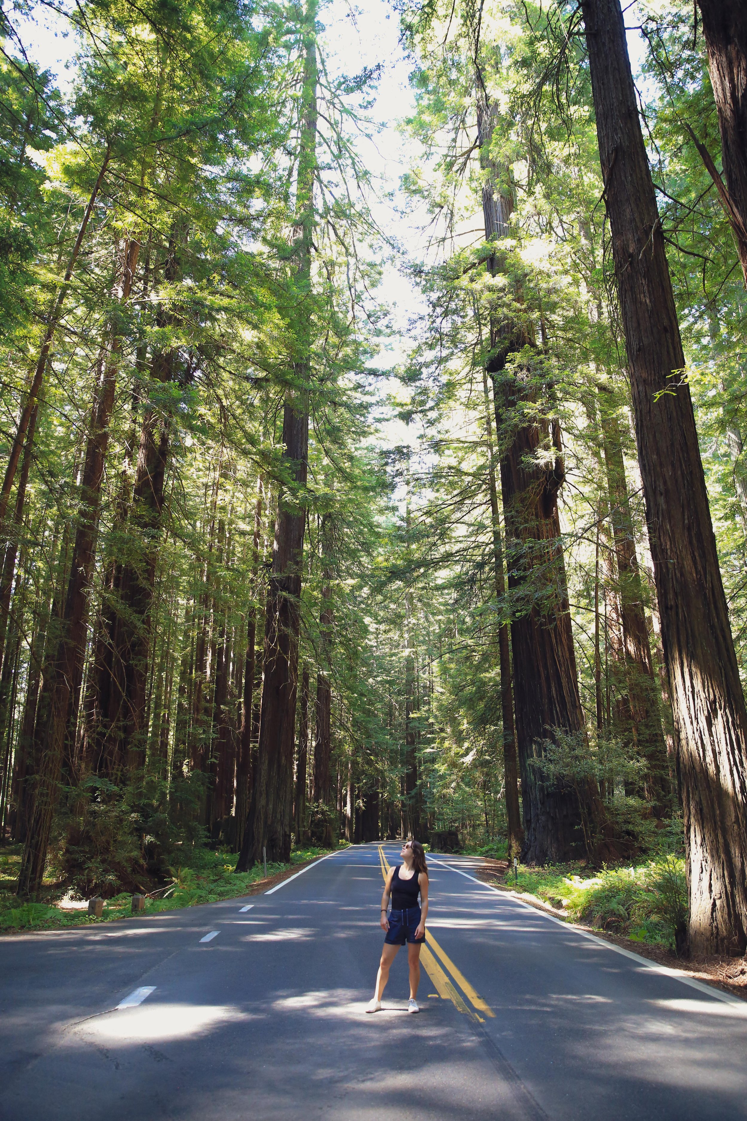
Avenue of the Giants

With LA in the rearview, we were off and running...well, driving. 

On the road for the first few days of a cross-country drive that would eventually land us at Blair’s house in Easton, Maryland - with many stops in between. 

The full journey would end up taking us:

  • 18 days / 17 nights

  • 100+ hours in the car

  • Nearly 6,000 miles 

  • Through parts of 19 different states

Packed into Blair’s 2015 Honda Accord (aka Sofia VerCara), we had our suitcases and backpacks with everything we’d need/could fit for the next 6-8 months + our tent, camping gear, and a few other things necessary to live out of a car for nearly 3 weeks. 

The road trip’s first leg would take us up the West Coast to Tacoma, Washington where we’d stay a couple of days with Blair’s brother Josh, sister-in-law Ruthie, and nephew Jackson before we joined them for a few days in Glacier National Park for Jackson’s first camping trip. 

Leaving LA and heading north to San Francisco there are two options - the slow scenic Pacific Coast Highway route or the more direct route through the center of the state aka the “California Heartland”. Having done this drive quite a few times before we chose the more direct way, despite the lack of sights and the pretty constant smell of manure from the miles upon miles of farmland. 

Being the first week of July, it was around 100 degrees for most of the day until we got near SF and the temperature dropped nearly 40 degrees in a flash as day turned to night and we crossed the Bay Bridge into the city. 

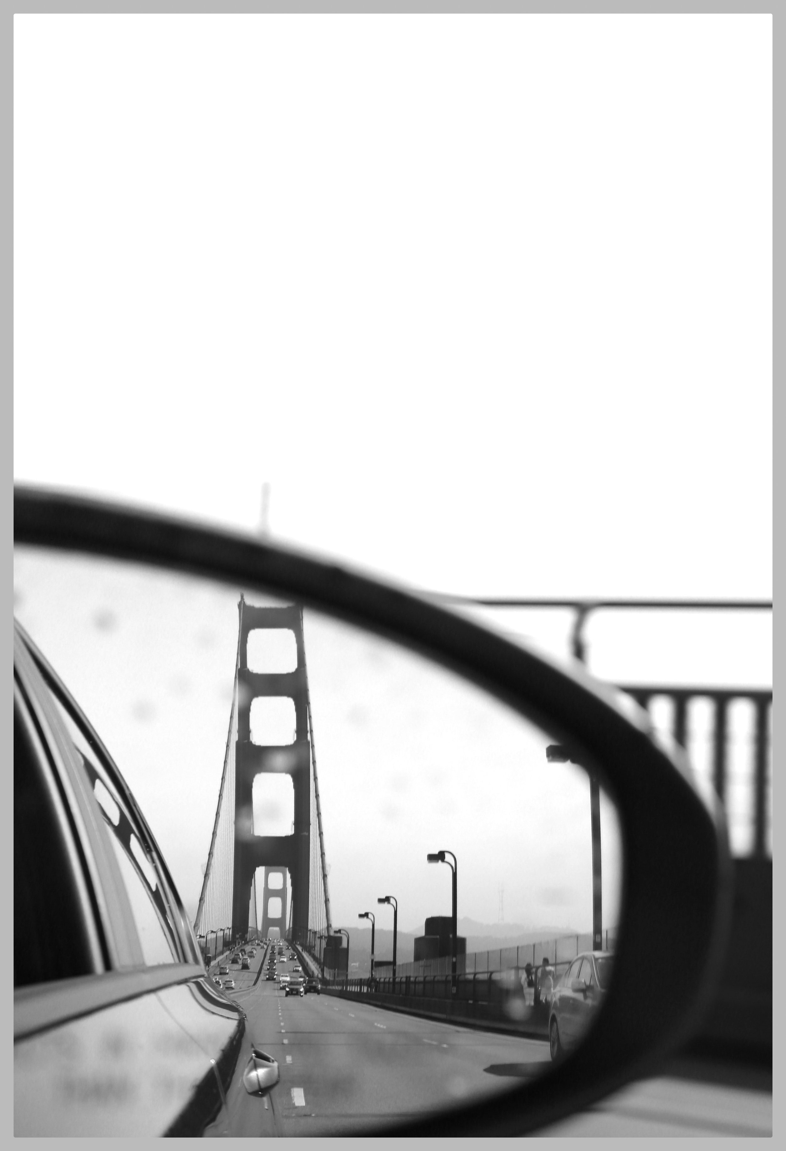
driving across the Golden Gate bridge, bridge in the rearview

After crashing at a friends’ for the night we popped our final destination for the day (Crescent City, the last town in CA before Oregon) into the GPS and realized for maybe the first time just how massive of a state California really is. After 6 + hours in the car from LA to SF, we still had nearly 7 hours (not including stops) of California left to cover!  

But this is where things officially got exciting. San Francisco marked the end of the ‘known’ part of the road trip for both of us. Pretty much everything from here on out was going to be a new experience, a new sight, a part of the unknown. 

We set out bright and early, crossing the Golden Gate Bridge and heading north in search of giant trees. The world’s tallest trees to be precise - Coastal Redwoods. Today’s drive would take us through the only area in the world where coastal redwoods survive, including a famous stretch of highway known as The Avenue of the Giants. 

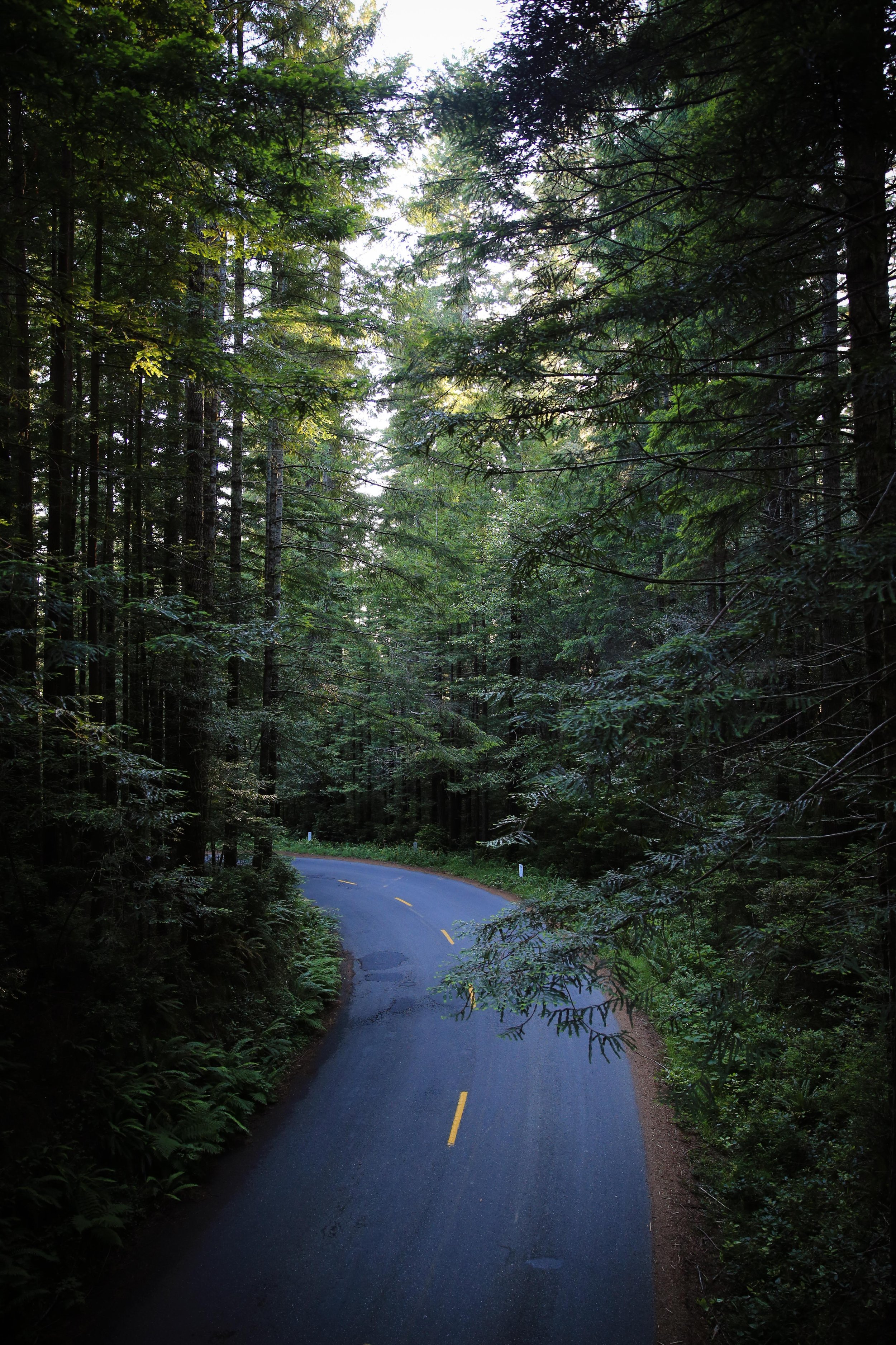
About 2 hours outside San Francisco, the terrain starts to change; gold turns to green, farmland to forest, sleepy small towns amongst towering trees. 

The average redwood in these old-growth groves is 500+ years and the tallest of these ancient giants stands as tall as a 30-story building!  

The height and density of the forests coupled with the rain and fog give the area a magical/mystical feel. It’s no wonder this part of the country is the leader in bigfoot sightings. 

We grab lunch at The Peg House in the tiny town of Leggett - population 122 (!) - enjoying a salmon burger, some grilled oysters, and a local beer as two old dudes who look like they moved here in the 80s to grow weed and never looked back serenade us with classic rock cover songs. 

The Peg House in Leggett

Highway 31 driving through Avenue of the Giants

Continuing north, we headed deeper and deeper into this new rugged, rural California, up the 101 freeway and very close to where California reaches its westernmost point. We would have loved to take the full 100-mile detour to see the entirety of the little-visited and ultra-remote  ‘Lost Coast’ but we had to settle for a quick stop in Ferndale at the Lost Coast’s northern entrance. 

Ferndale Main Street

Ferndale proved a worthy detour to get a little feel for the area. The town is known for its well-preserved Victorian homes and Main Street storefronts - many of which date back to the 1880s. We learned after the fact that the homes are also known as “Butterfat Palaces” (lol) because they were built thanks to the considerable money made in the area from the dairy industry. 

20 mins from Main Street we got our true taste of ‘The Lost Coast’ with a stop at Centreville Beach. Covered in fog and driftwood, the beach delivered a magical/mystical feel to match that of the redwoods from earlier in the day. End of the continent with an ‘end of the world’ feel. 

Centerville Beach (near Ferndale)

But we couldn’t stay and ponder our insignificant-feeling existence for too long as we had one more redwood-related stop planned.

We flew through Eureka (population 29,000 and the closest thing to a ‘city’ anywhere within 200 miles) and into the forests of Redwood National Park for another hour before reaching our turnoff about an hour before sunset. 

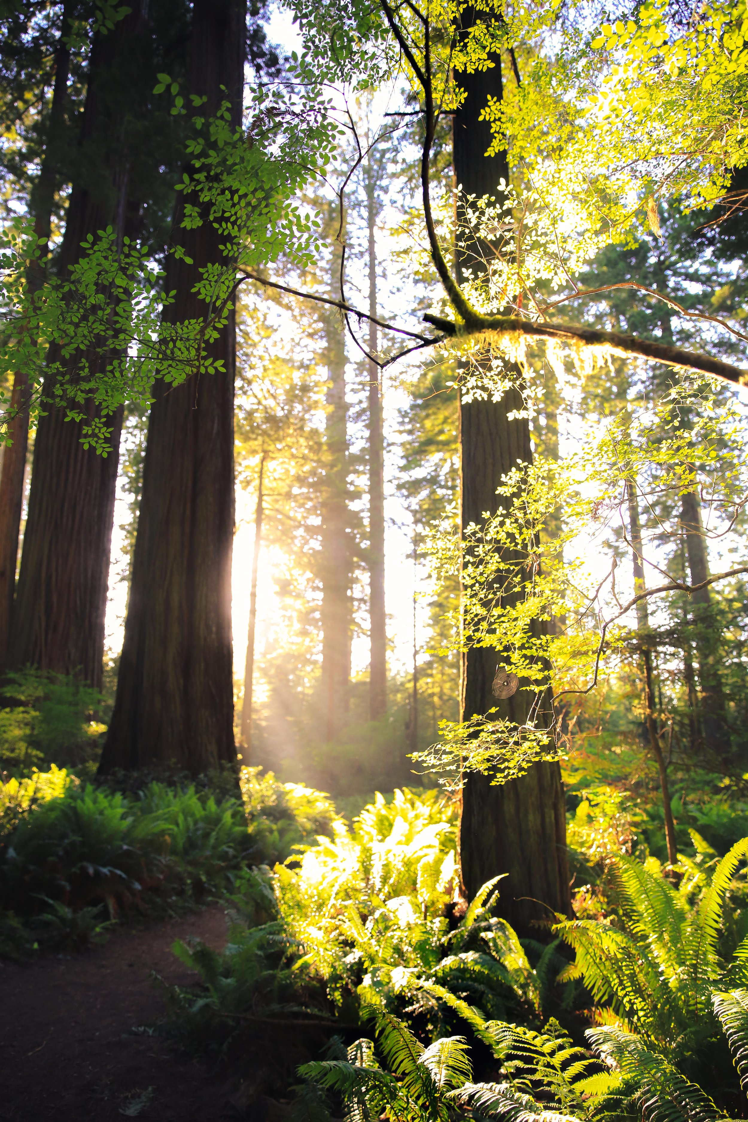
The Lady Bird Johnson Grove sits at the top of a ridge about 1000 feet above sea level. An easy one-mile loop allows you to get up close and personal with the redwoods, Douglas firs, ferns,  and other plants without spending a ton of time out of the car. 

It was a great stop to stretch the legs, soak in a bit more of this unique area, and give the car a little break. Andrew smelled burnt rubber when we parked and was concerned but after nervously googling it, it seemed the resin in the new brake pads we got before setting out was curing from so much use that day. Day 2 crisis averted! And our unintentional sunset timing couldn’t have been more perfect, the setting sun cutting through the gaps in the trees and lighting the already red redwoods even more bright. 

One final hour in the car (or so we thought) and we arrived in Crescent City, the destination of our campsite for the night - except it wasn’t. Andrew had booked a site on Hipcamp and while it was NEAR Crescent City on the map, ‘near Crescent City’ in reality was another hour up the coast and into Oregon. 

I guess we’d be saying goodbye to California today after all. 

We grabbed some tacos and some caffeine for Andrew and pushed through the final stretch, finally arriving at the campsite on a ranch near the Rogue River at about 10 pm - a full 12 hour day. We put on our headlamps, quickly set up our tent, and went to sleep. 

It was pitch black and the Oregon Coast would have to reveal itself in the morning. 

-A & B

tags: Travel Photography, USA Road Trip
categories: Travel
Monday 11.15.21
Posted by Blair Raughley Masters
 

Powered by Squarespace.